 Catalogue PIGMA
12 km
Type of resources
Available actions
Topics
Keywords
Contact for the resource
Provided by
Years
Formats
Representation types
status
Resolution
-

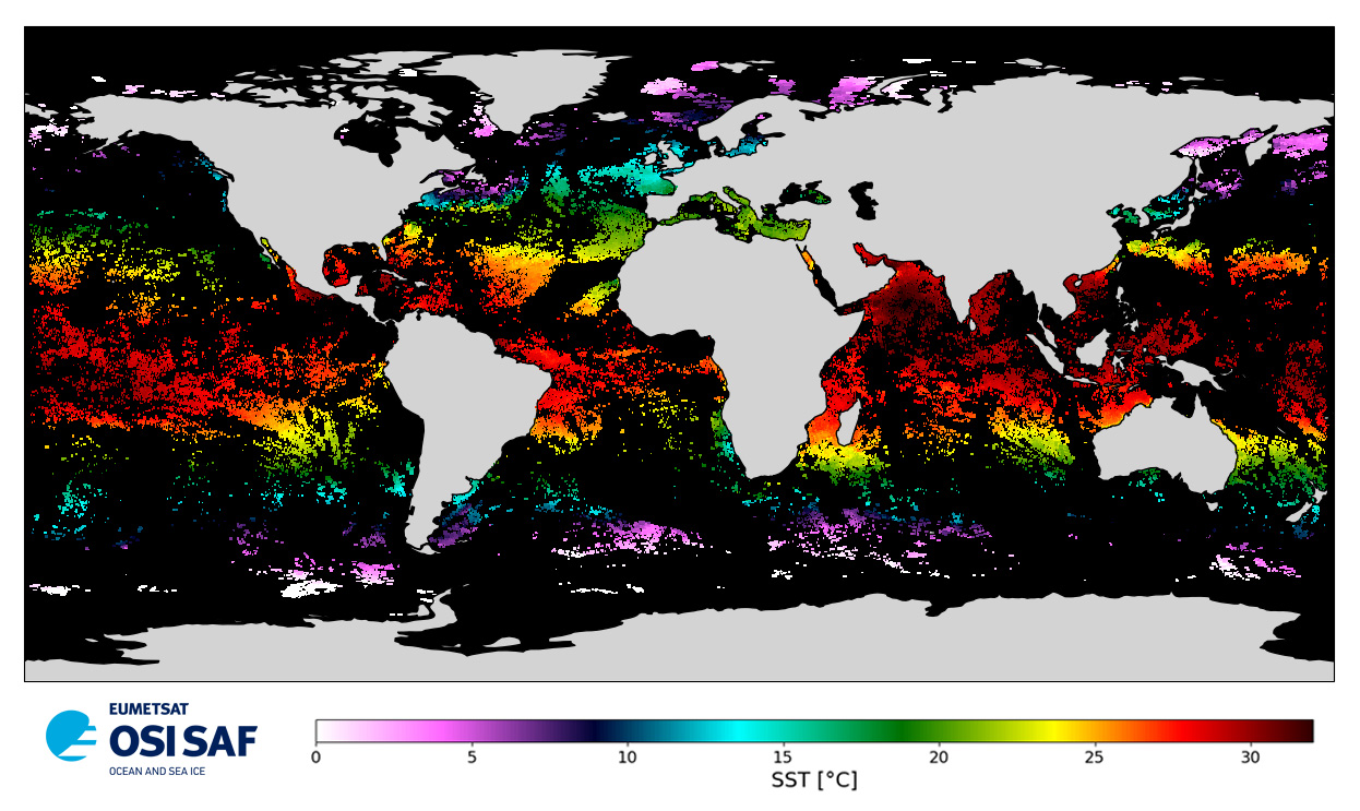
Level 2 skin Sea Surface Temperature derived from IASI on Metop, global and provided in full-resolution swath (12 km at nadir to 40 km), in GHRSST compliant netCDF format. SST is retrieved using a multispectral algorithm and a cloud mask. Atmospheric profiles of water vapor and temperature from a numerical weather prediction model, Sea Surface Temperature from an analysis, together with a radiative transfer model, are used to correct the multispectral algorithm for regional and seasonal biases due to changing atmospheric conditions. The quality of the products is monitored regularly by daily comparison of the satellite estimates against buoy measurements. The product format is compliant with the GHRSST Data Specification (GDS) version 2. Users are advised to use data only with quality levels 3, 4 and 5.
-
Level 2 skin Sea Surface Temperature derived from IASI on Metop-B, global and provided in full-resolution swath (12 km at nadir to 40 km), in GHRSST compliant netCDF format. SST is retrieved using a multispectral algorithm and a cloud mask. Atmospheric profiles of water vapor and temperature from a numerical weather prediction model, Sea Surface Temperature from an analysis, together with a radiative transfer model, are used to correct the multispectral algorithm for regional and seasonal biases due to changing atmospheric conditions. The quality of the products is monitored regularly by daily comparison of the satellite estimates against buoy measurements. The product format is compliant with the GHRSST Data Specification (GDS) version 2. Users are advised to use data only with quality levels 3, 4 and 5.
-
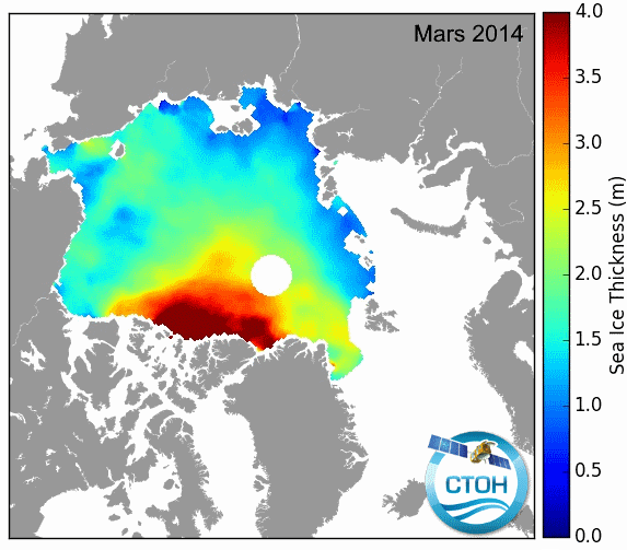
These data contain monthly mean gridded seaice products from altimetry including the following parameters over Arctic and Antarctic areas: - radar freeboard (direct Ku measurement) - ice freeboard (radar freeboard corrected from Ku speed propagation in Snow Depth) - snow depth (SD) - sea ice thickness (Sea Ice Thickness(SIT), using SD) The survey of these high latitudes requires satellite altimeters with high latitude orbits : Saral/AltiKa, Cryosat-2 and Envisat.